Microsoft AI for Good Lab: AI identifies where disaster damage is worst
Sixth meeting of the “AI in Humanitarian Logistics” working group: Microsoft’s AI for Good Lab, based in Seattle, presents an open-source tool that maps building damage following a disaster using satellite and aerial imagery.
During the 6th meeting of the virtual working group "AI in Humanitarian Logistics" of the Logistics Hall of Fame, Cameron Birge from the Microsoft AI for Good Lab in Seattle presented HASTE (High-speed Assessment and Satellite Tracking for Emergencies), a free, open-source tool that maps building damage from satellite and aerial imagery after a disaster.
After an earthquake, flood or storm, the first question response agencies ask is where the damage is worst. The answer shapes where people, vehicles and supplies go first, yet ground surveys can take days or weeks. Because every disaster looks different, HASTE trains open-source models for each event: an analyst labels a small set of damaged and intact buildings, and the model maps every building in the area. Two workflows offer a choice between a per-building result in minutes and a detailed, pixel-level damage map. Built-in quality checks, including validation against a random sample of buildings and reports with a confidence range, help teams judge how far to trust each result. Example videos were presented on how the solution workflows.
The discussion with the members of the group explored how damage maps can support logistics decisions, from staging and prioritizing the first days of a response to flagging roads likely to be blocked, and where imagery availability and ground checks set the limits.
HASTE: https://aka.ms/haste
GitHub: https://github.com/microsoft/haste
The Logistics Hall of Fame working group will meet virtually again on January 14 from 4:30 to 5:30 p.m. CET. Peter Wolff from the Federal Agency for Technical Relief (THW) in Germany will present how AI can help analyze drone imagery to identify people and vehicles in disaster areas.
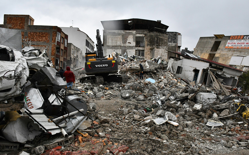
(Image: Caglar Oskay/unsplash)