HeiGIT presented three connected research projects on dynamic routing and logistics optimization
5.th Meeting of the Working Group AI in Humanitarian Logistics: How can AI, earth observation, and dynamic routing help humanitarian organizations navigate rapidly changing operating environments?
During the 5th meeting of the virtual working group "AI in Humanitarian Logistics" of the Logistics Hall of Fame, Sukanya Randhawa, Julian Ferdinand Seyffer and Alec Schule-Eckel from HeiGIT presented three connected research projects on dynamic routing and logistics optimization built on mission-critical data: Adaptive Humanitarian Mobility, AILAS (AI Logistics Awareness System), and the first global multi-temporal baseline of road pavedness and width. All three topics are connected to HeiGIT's ongoing collaboration with Welthungerhilfe whose operational needs and field engagement have shaped parts of this research.
The presentations addressed a persistent operational challenge: effective humanitarian logistics depends on an accurate, current picture of the operating environment. The condition and pass ability of physical infrastructure such as roads and bridges, the status of border crossings, evolving security conditions, flood extents, or other climate- and disaster-related impacts constrain how aid can be delivered. This picture shifts constantly, and information on these factors is often fragmented, delayed, or incompatible, forcing planners to route critical shipments across networks with significant blind spots.
To close this gap, the team presented three connected research projects:
Adaptive Humanitarian Mobility: The solution is built on dynamic OpenStreetMap-based routing, provides the ability to add real-time infrastructure and accessibility information into mobility analysis. It synchronizes data from proprietary and open sources through a dedicated gateway and maps it directly onto the routing graph as conditions evolve.
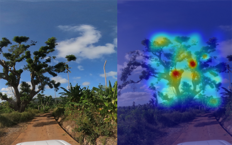
AILAS: This tool is a weather-adaptive routing system that improves logistics planning on unpaved roads in the context of hydrometeorological disasters. It combines street-level imagery with deep learning models to assess current road passability, links these conditions with weather and environmental data, and uses weather forecasts to predict how passability will develop. This feeds results directly into the mobility analysis for operational use.
Planet road surface data: Using deep learning on imagery from 2020 to 2024, the global road pavedness baseline classifies roads as paved or unpaved worldwide, giving route planners more reliable, consistent information on road quality.
Together, these projects demonstrate how AI, earth observation, and dynamic routing can transform fragmented and fast-changing conditions into a coherent, and actionable picture for humanitarian logistics.
Adaptive humanitarian mobility: https://heigit.org/rethinking-humanitarian-routing-when-every-minute-and-mile-matter/
AILAS: https://heigit.org/ailas/
Planet road surface data: https://heigit.org/heigit-releases-global-satellite-dataset-for-humanitarian-routing-and-mapping-infrastructure-change/